
ფაილი:Muddy Water Red desert.jpg
ზომა წინასწარი გადახედვისას: 800 × 600 პიქსელი. სხვა გაფართოება: 320 × 240 პიქსელი | 640 × 480 პიქსელი | 1 024 × 768 პიქსელი | 1 280 × 960 პიქსელი | 2 560 × 1 920 პიქსელი.
თავდაპირველი ფაილი ((2 560 × 1 920 პიქსელი, ფაილის ზომა: 2,23 მბ, MIME ტიპი: image/jpeg))
| ეს ფაილი მდებარეობს Wikimedia Commons სერვერზე. იხილეთ მისი აღწერის გვერდი სრული ინფორმაციისთვის. |
 |
გადასვლა ფაილის გვერდზე |
რეზიუმე
| აღწერა |
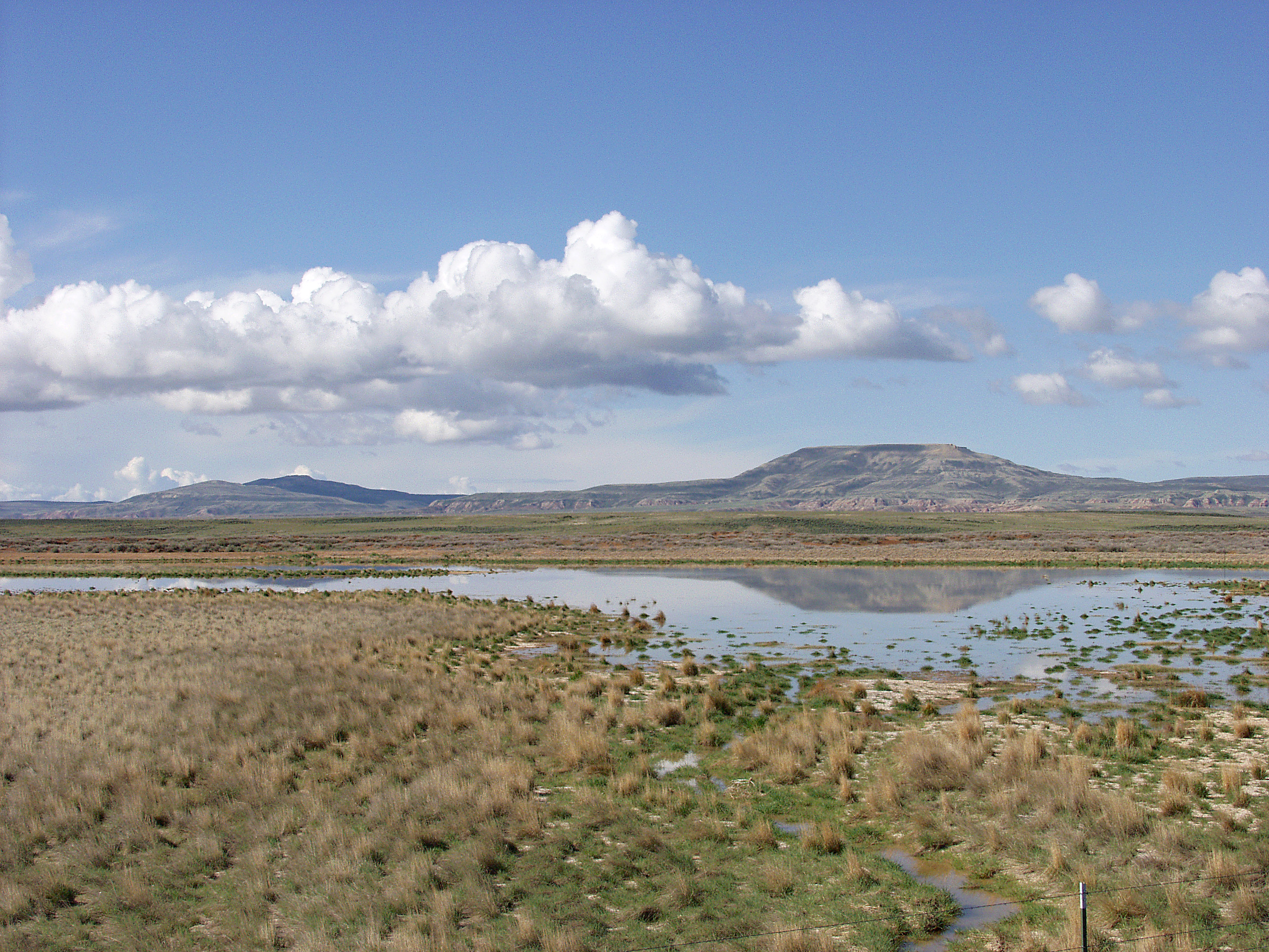
English: Melting snowpack is the primary source for surface water in Wyoming, such as this emphemeral wetland in the Muddy Creek Watershed of the Red Desert. This stretch of rangeland is typical of the vast expanses of publicly owned rangeland that aerial remote sensing is particularly well-adapted to. |
| თარიღი | უცნობი თარიღი |
| წყარო | http://www.ars.usda.gov/is/graphics/photos/feb06/d423-1.htm |
| ავტორი | US Department of Agriculture. Sam Cox |
| უფლება (ფაილის მეორეული გამოყენება) |
US Federal Government work |
ლიცენზია
| This image is in the public domain because it contains materials that originally came from the Agricultural Research Service, the research agency of the United States Department of Agriculture.
|
ფაილის ისტორია
დააწკაპუნეთ თარიღზე/დროზე ფაილის დასათვალიერებლად, როგორც ის მაშინ გამოიყურებოდა.
| თარიღი/დრო | მინიატიურა | ზომები | მომხმარებელი | შენიშვნა | |
|---|---|---|---|---|---|
| მიმდინარე | 17:05, 21 აპრილი 2009 | | 2 560×1 920 (2,23 მბ) | Fishdecoy | {{Information |Description={{en|1=This stretch of rangeland in the Muddy Creek Watershed in Wyoming’s Red Desert is typical of the vast expanses of publicly owned rangeland that aerial remote sensing is particularly well-adapted to.}} |Source=http://www |
ბმულები
ამ ფაილზე ბმული მოცემულია შემდეგ გვერდებზე:
ფაილის გლობალური გამოყენება
ეს ფაილი გამოიყენება შემდეგ ვიკებში:
- გამოყენება ar.wikipedia.org-ში
- გამოყენება arz.wikipedia.org-ში
- გამოყენება ca.wikipedia.org-ში
- გამოყენება ceb.wikipedia.org-ში
- გამოყენება cs.wikipedia.org-ში
- გამოყენება en.wikipedia.org-ში
- გამოყენება fa.wikipedia.org-ში
- გამოყენება fr.wikipedia.org-ში
- გამოყენება it.wikipedia.org-ში
- გამოყენება lt.wikipedia.org-ში
- გამოყენება vi.wikipedia.org-ში
- გამოყენება www.wikidata.org-ში