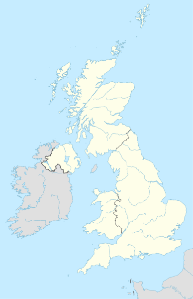
ფაილი:United Kingdom adm location map.svg

ამ SVG ფაილის PNG წინასწარი გადახედვის ზომაა: 388 × 600 პიქსელი. სხვა გაფართოება: 155 × 240 პიქსელი | 310 × 480 პიქსელი | 497 × 768 პიქსელი | 663 × 1 024 პიქსელი | 1 325 × 2 048 პიქსელი | 886 × 1 369 პიქსელი.
თავდაპირველი ფაილი (ფაილი SVG, ნომინალურად 886 × 1 369 პიქსელი, ფაილის ზომა: 703 კბ)
ფაილის ისტორია
დააწკაპუნეთ თარიღზე/დროზე ფაილის დასათვალიერებლად, როგორც ის მაშინ გამოიყურებოდა.
| თარიღი/დრო | მინიატიურა | ზომები | მომხმარებელი | შენიშვნა | |
|---|---|---|---|---|---|
| მიმდინარე | 20:13, 28 აპრილი 2015 |  | 886×1 369 (703 კბ) | NordNordWest | == {{int:filedesc}} == {{Information |Description= {{de|1=Positionskarte des Vereinigten Königreichs}} {{en|1=Location map of the United Kingdom}} {{Location map series N |stretching=170 |top=61.0 |bottom=49.0 |left=-11.0 |right=2.2 }} |Source={{Own u... |
ბმულები
ამ ფაილზე ბმული მოცემულია შემდეგ გვერდებზე:
- აბერდინი
- აბერისტუითი
- ბელფასტი
- ბერკენჰედი
- ბირმინგემი
- ბლეკბერნი
- ბლეკპული
- ბოლტონი
- ბორნმუთი
- ბრაიტონი
- ბრედფორდი
- ბრისტოლი
- ბრისტოლის უნივერსიტეტი
- გეიტსჰედი
- გლაზგო
- გოდელმინგი
- გრინოკი
- დანდი
- დარემის უნივერსიტეტი
- დარტფორდი
- დუგლასი (კუნძული მენი)
- დუვრი
- ედინბურგი
- ვულვერჰემპტონი
- იორკი
- იუნესკოს მსოფლიო მემკვიდრეობის ძეგლები გაერთიანებულ სამეფოში
- იფსუიჩი
- კარდიფი
- კარლაილი (ინგლისი)
- კემბრიჯი
- კემბრიჯის უნივერსიტეტი
- კოვენტრი
- ლესტერი
- ლიდზი
- ლივერპული
- ლინკოლნი (ინგლისი)
- ლონდონი
- ლონდონის ეკონომიკის სკოლა
- ლონდონის საუნივერსიტეტო კოლეჯი
- ლონდონის სიტი
- ლონდონის უნივერსიტეტი
- ლონდონის უნივერსიტეტის აღმოსავლეთმცოდნეობისა და აფრიკანისტიკის სკოლა
- ლონდონის ხიდი
- მანჩესტერი
- მიდლზბრო
- მილტონ-კინზი
- მსოფლიო ჩემპიონატი სნუკერში
- ნიუკასლ-აპონ-ტაინი
- ნოტინგემი
- ოქსფორდის უნივერსიტეტი
- პორტ-ისააკი
- პული
- რობერტ გორდონის უნივერსიტეტი
- რონდა (უელსი)
- სანდერლენდი
- საუთჰემპტონი
- სენტ-ენდრიუს უნივერსიტეტი
- სენტ-ენდრიუსი
- სენტ-პიტერ-პორტი
- სენტ-ჰელიერი
- სლაუ
- სტოკპორტი
- უესტმინსტერი (ლონდონის ბორო)
- შეფილდი
- ჩესტერი
- ჩესტერფილდი
- ჯეიმზტაუნი (წმინდა ელენეს კუნძული)
- ჯორჯტაუნი (კაიმანის კუნძულები)
- ჰადერზფილდი
- ჰალი (გაერთიანებული სამეფო)
- ჰამილტონი (ბერმუდის კუნძულები)
- ჰეროგეიტი
- ჰერტფორდი
- ჰითი
- თარგი:პოზრუკა გაერთიანებული სამეფო
ფაილის გლობალური გამოყენება
ეს ფაილი გამოიყენება შემდეგ ვიკებში:
- გამოყენება ab.wikipedia.org-ში
- გამოყენება af.wikipedia.org-ში
- გამოყენება als.wikipedia.org-ში
- გამოყენება an.wikipedia.org-ში
- Londres
- Oxford
- Edimburgo
- Bristón
- Seu de Bristón
- Muro d'Hadrián
- Seu de Saint Albans
- Castiello de Dintagell
- Aeropuerto de Londres-Stansted
- Birmingham
- Blackburn
- Bolton
- Liverpool
- Manchester
- Newcastle upon Tyne
- Norwich
- Stoke-on-Trent
- Sunderland
- Abertawe
- Castiello de Windsor
- Seu de Sant Pavlo de Londres
- Cambridge
- Llanfairpwllgwyngyllgogerychwyrndrobwllllantysiliogogogoch
- Estadio de White City
- Plantilla:Mapa de localización Reino Uniu
- Saint-Pierre-Port
- Saint-Hélier
- Doolish
- Glasgow
- Caerdydd
- Southampton
- York
- Leeds
- Sheffield
- Leicester
- Coventry
- Aberdeen
იხილეთ, ამ ფაილის გლობალური გამოყენება.


